Perth Metropolitan Area (GEOJSON)

Looking for either a KML or a geoJSON of the Perth Metropolitan Area, which combines a number of LGAs (http://www.drd.wa.gov.au/Publications/Documents/Metropolitan_Perth_LGA_boundaries.pdf)

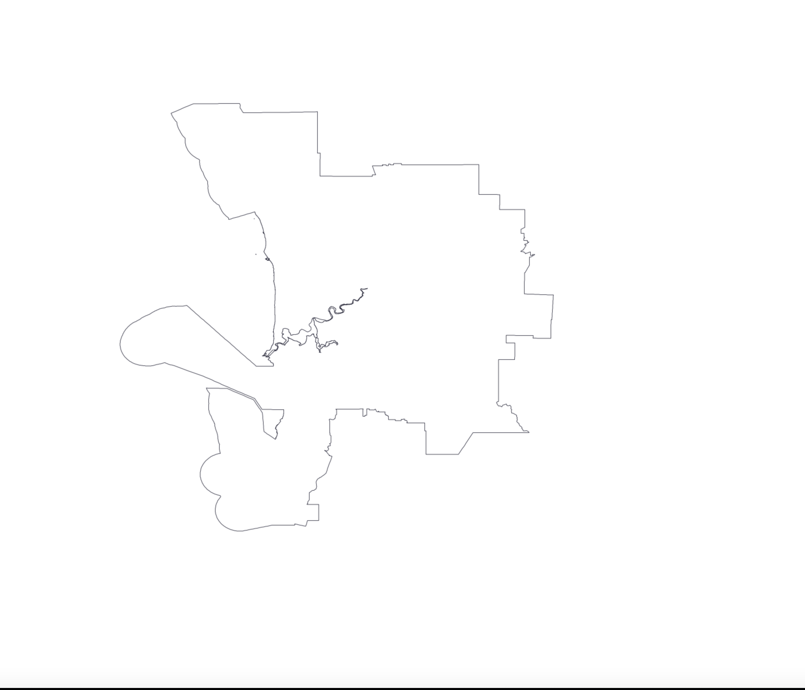
Wondering if anyone has the above. I was able to use mapshaper to create it using the LGA but importing it into google earth seems that the platform created a number of errors.

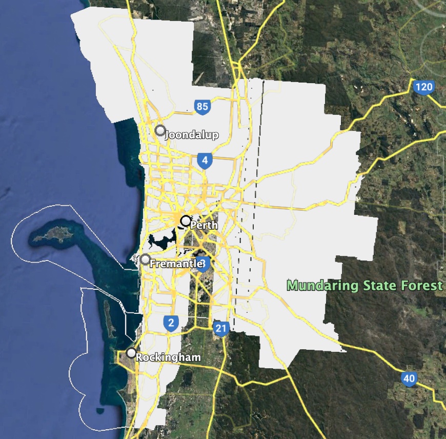
The end result should look something like this (roughly)

Hmm, that looks like the definition of the ‘Perth region’ as per the Regional Development Commissions Act 1993.

I just had a closer look at Regional Development Commission Boundaries (DPIRD-020), and somehow I’ve never noticed before that the Perth region isn’t actually a polygon, it’s a hole! So maybe not so useful :sweat_smile:

Did you start with the LGA geoJSON, but google earth didn’t like it after it had been joined?

Yes I use the data the LGA and imported the whole state of WA into mapshaper.org
when I joined them together they seem to show nicely, but for some reason when I went to import the data on Google Earth it shows like this.

Yes I noticed that, I was able to get it to work however - shapes don’t seem to work but geoJSON started to work.

1 Like