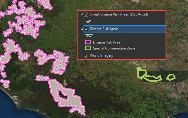
This dataset contains the DRA (Disease Risk Areas) managed by DBCA, but in a copy that is held by DBCA in their corporate data that FPC has traditionally used, it also includes Special Conservation Zones (over the Stirling Ranges) which are not present in the DataWA/SLIP version. It would be good if this were included so that we could continue to see this data whilst sourcing from SLIP instead of via the CDDP cut we have traditionally relied on.
